
Greenville Postal Coverage
Greenville’s official map presents two city ZIP areas: 75401 in red and 75402 in blue. Official Texas ZIP listings also include 75403 and 75404 for Greenville. The latter two are postal designations that need address-level checking, not a quick assumption about a street-delivery area or municipal boundary. Treat the code on a record as one field in a dated source, then verify the current delivery result through USPS.
| ZIP | Local delivery context | Post office or station | Verification note |
|---|---|---|---|
| 75401 | Primary Greenville street-delivery area shown in red, with central and northern context | Greenville Post Office, 2600 Wesley St.; Stanford St. facility | Use USPS for the exact ZIP+4 and delivery status |
| 75402 | Primary Greenville street-delivery area shown in blue | Rolling Hills facility, 6305 Wesley St. | Check city, county, and ETJ layers separately |
| 75403 | Greenville postal designation with secondary or PO-box context | Confirm the box or station with USPS | Do not infer street delivery or city limits |
| 75404 | Greenville postal designation with secondary or PO-box context unless USPS returns a street match | Confirm with USPS | A mailing ZIP is not a parcel boundary |
The Texas government ZIP list supports the four Greenville postal designations. Its presence on the list does not establish whether a particular address is inside Greenville city limits.
Greenville ZIP Codes and City Lines
A Greenville ZIP label does not mean an address is inside Greenville city limits. The city map page also provides city-limits and ETJ, zoning, streets, voting, trash, transportation, subdivision-plat, and fire-district maps. Those layers answer different questions. A county parcel may carry a Greenville mailing city, and a ZIP can cross a municipal boundary without changing the underlying parcel or the current voting map.
View the City of Greenville maps for the official red and blue ZIP-area display.
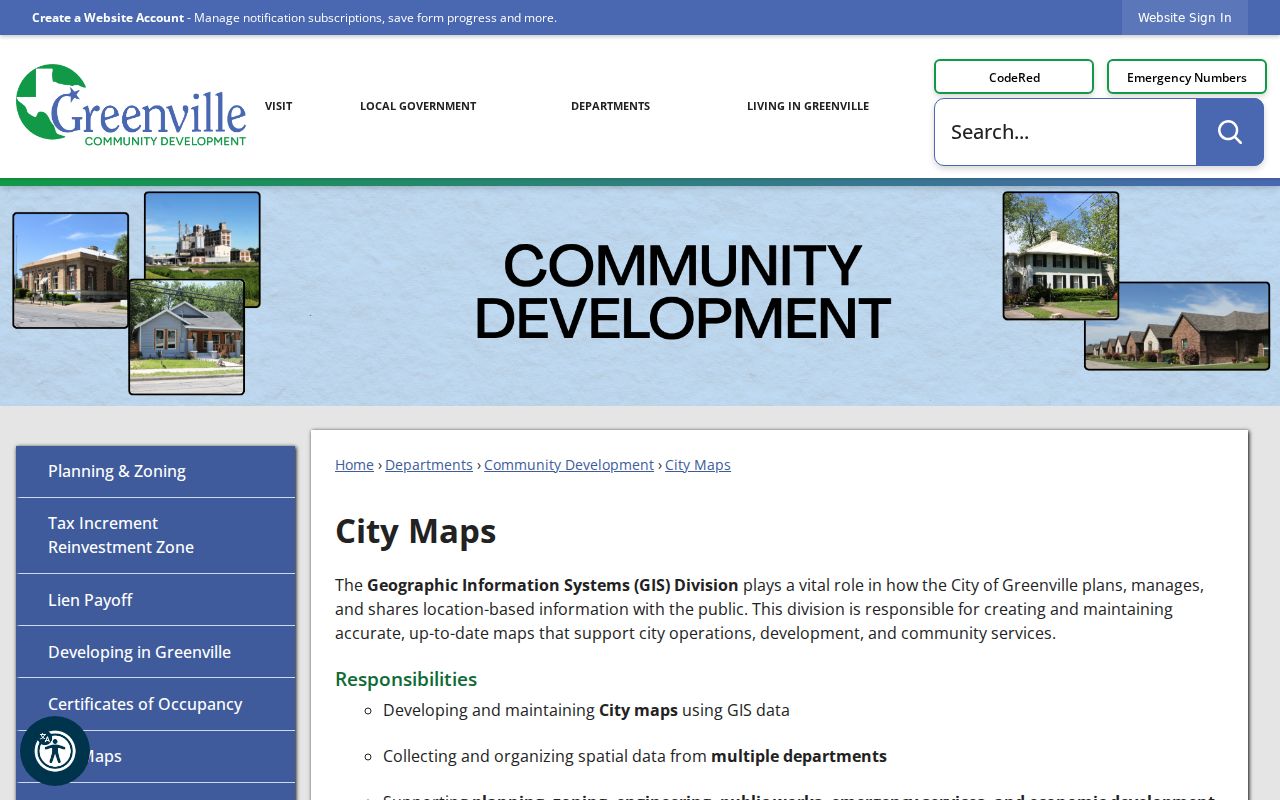
The map is a sound starting point for city geography, but a USPS result and the source record still determine how an individual address is formatted or delivered.
Use USPS for Greenville ZIP Codes
The USPS ZIP lookup accepts either a street address plus city and state, or a street address plus ZIP. It returns a standardized mailing result. Use that result to preserve the current street or route format, ZIP, and ZIP+4. It is especially important where a box or facility suffix could be mistaken for an ordinary delivery address.
Enter the complete address from the dated record rather than guessing a code from a neighborhood name. If USPS gives a different current form, keep both the source form and the USPS return with their dates. A Postal Service result describes mail delivery now. It does not replace a CAD situs field or a legal description.
The USPS by-address form shows the two supported ways to normalize a Greenville delivery address.
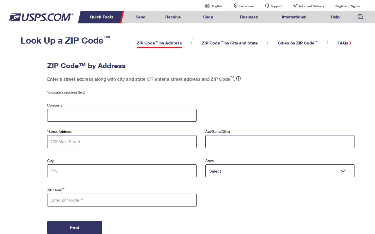
Using the form before a county search helps keep a street address, a box, and a ZIP+4 return from being combined into one unsupported location claim.
Greenville Postal Search Fields
USPS is the ZIP-capable form documented in the research. It does not search for people. It standardizes a mailing address. The Hunt Tax search is useful after an address is narrowed, but the inspected property interface did not document a ZIP filter. Its street-number and street-name fields, property identifiers, and tax-year controls support parcel research instead of a ZIP-wide resident list.
| Portal field | Input type | Use and limits |
|---|---|---|
| USPS route | Street address plus city and state | Returns a standardized current delivery result |
| USPS alternative | Street address plus ZIP | Checks an address against a supplied ZIP |
| Hunt Tax street fields | Street Number and Street Name | Use after a ZIP and address have been verified |
| Hunt Tax identifiers | Property ID or Geographic ID | Matches a selected parcel record and tax year |
Note: Hunt Tax warns that broad searches can time out, so a selected parcel or a simplified street name is more reliable than an overly broad query.
Finding Residents Inside a Greenville ZIP
Postal geography can narrow an address question, but it cannot produce a complete resident roll. Start with a non-sensitive address or an official record already tied to a street. Verify the mailing form through USPS, then use the county or city system keyed to the actual question. Hunt CAD and Hunt Tax handle appraisal and parcel context. The County Clerk’s land systems handle recorded instruments. City maps show municipal layers.
- Check the full address through USPS and save the standardized result, ZIP+4 if returned, and access date.
- Compare the address with the City of Greenville ZIP map and city-limit or ETJ layer.
- Use Hunt Tax or CAD by the verified street or parcel identifier, keeping situs, mailing address, and tax year separate.
- For a recorded land question, move from the parcel’s legal description to the County Clerk’s index or the current Tyler land route.
- Once the location is narrowed to a street, use the Greenville by-street directory for the address-records workflow.
Texas My Voter Portal is a current registration tool with privacy and suppression rules, not a ZIP search. A formal Hunt County voter-file request has a separate lawful request route and does not make protected fields public.
Greenville ZIP Code Parcel Fields
Property research uses several fields that should not be collapsed into a ZIP label. USPS standardizes a mailing address. A CAD situs describes the taxable or improved property for appraisal. An owner mailing address is where tax correspondence goes. The geographic or property ID is a parcel search key, and a legal description identifies lot, block, subdivision, abstract, acreage, or metes-and-bounds information in land records.
- ZIP versus ZIP+4
- The ZIP identifies a postal area; ZIP+4 refines delivery routing for a particular return.
- PO-box ZIP
- A postal designation for box delivery, not evidence of a street location.
- Unique ZIP
- A code used for a particular postal delivery context. Verify it through USPS before attaching it to a place.
- Carrier route
- A delivery-routing category, not a city boundary or a record of who is at an address.
- Situs address
- The address used on the parcel record, which can differ from a tax mailing address.
The sample CAD card in the research shows why this separation matters: a rural Hunt County parcel can have a Lone Oak situs and a Greenville 75402 mailing address. Neither field cancels the other.
Greenville Postal Facilities and ZIP+4
The USPS Greenville Post Office listing identifies the 2600 Wesley St. location as 75401-9994. It lists Monday through Friday hours of 8–5:30, Saturday hours of 8–noon, and phone 903-455-8487. Research also identified a Stanford St. facility at 75401-9998 and a Rolling Hills facility at 6305 Wesley St. with 75402-9998 context.
Facility and box ZIP+4 values can resemble an ordinary address result. Preserve the full USPS return and label it as a street delivery, box, or facility result. That small distinction stops a ZIP code directory from confusing delivery infrastructure with a parcel location.
The USPS facility record provides the Greenville Post Office context for the 75401 delivery area.
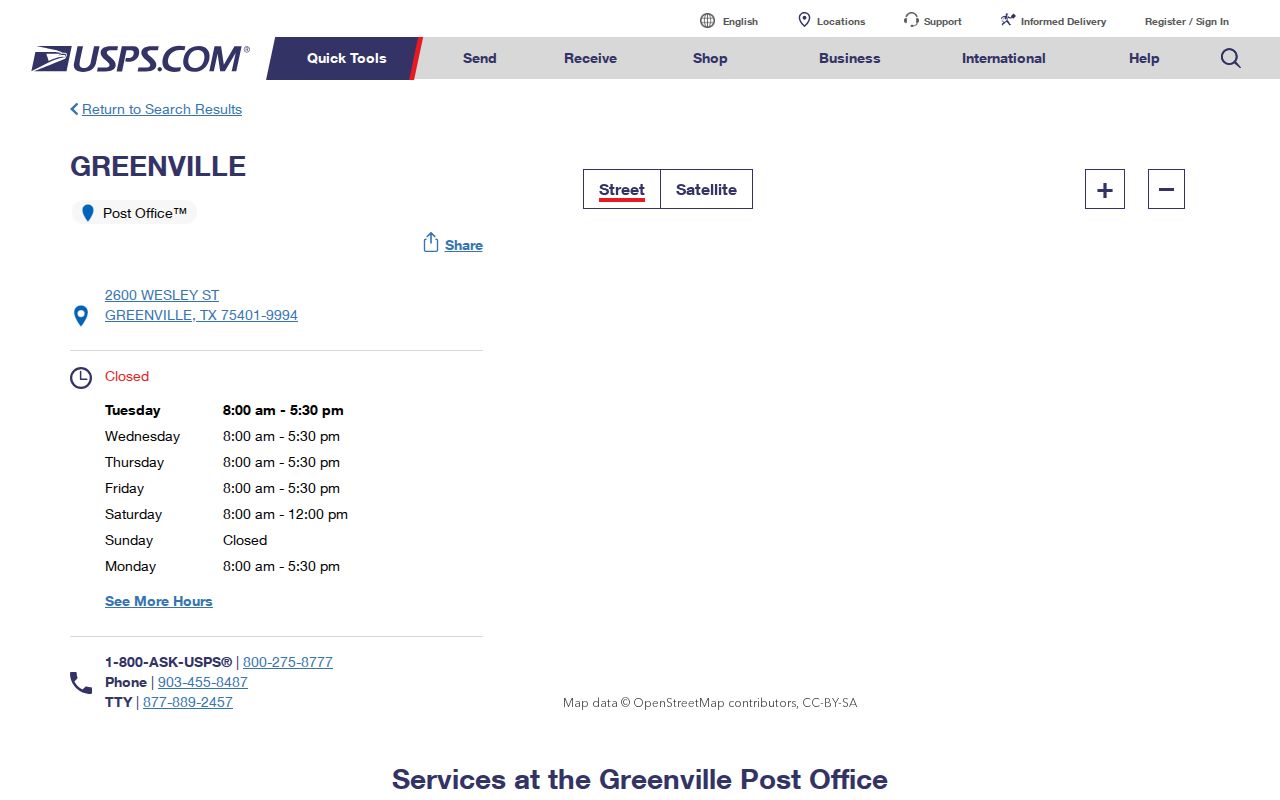
The facility listing supports postal-service context only. It should not be used to decide city limits, parcel ownership, or a current household connection.
Greenville ZIP Code Limits and ETJ
City limits, ETJ, county, ZIP, voting precinct, tax neighborhood, situs, and mailing address are separate Greenville geographies. They change on different schedules. The city’s Planning and GIS office is at 2315 Johnson St., Greenville, TX 75403, phone 903-457-3100, and lists Monday through Friday hours of 8–5. Its map page is the clearest official source found for municipal layers.
A ZIP search should therefore keep each label with its source: USPS for delivery, CAD for the parcel, deed or plat records for legal description, and city GIS for municipal context. A public map can orient a research question, but it is not a survey, title record, or proof of a person’s residence.
Greenville ZIP Code History
Older Greenville records rarely speak the same postal language as a current USPS lookup. The best verified local map sequence is the Sanborn collection for 1885, 1888, 1893, 1898, 1903, and 1909. Pair an older street label with a legal description, a dated directory entry, a newspaper notice, and the current USPS or CAD result. No official full street-name crosswalk or address-change chronology was verified in the research.
City directories, telephone books, and the Sanborn sheets help bridge an old address to a later record, but each series has gaps. Record the map sheet, volume year, page, and source date. A changed street name or block should be proved from successive directories, plats, permits, ordinances, or other dated material, not guessed from the current map.
Greenville ZIP Code Results Need Dates
Every Greenville ZIP code result needs a source date. Postal delivery, city maps, precinct maps, property records, and portal displays can change or use distinct reference dates. The research notes that a portal outage or a missing web field is not proof that a record never existed. Keep the source URL, record date, access date, jurisdiction, identifier, and the label that the custodian actually used.
Use ZIP information for personal, lawful research and respect privacy boundaries. Do not publish or treat protected information, a voter suppression, a delivery detail, or a blank portal field as a reason to make a claim about an individual.