
Walk a Greenville Street by Address
A Greenville street directory search works from the address outward. First identify the property record, then preserve the parcel and legal-description fields before checking the map and recorded instruments. This is an address trail, not a list of every person on a road. Owner display, mailing address, and situs describe different parts of an appraisal record. A historical directory or voter source can add a dated household lead, but it still needs its own source date.
- Enter a simple street name, parcel ID, or address in Hunt Tax and select the needed tax year.
- Record the geographic ID, situs, mailing address, legal description, and map ID separately.
- Open the same parcel in the Hunt CAD map and note boundaries, roads, map date, and displayed layers.
- Search the deed index by grantor and grantee for the parcel’s legal description or identified parties.
- Use a dated directory, telephone book, or newspaper only to test a historical occupancy question.
Greenville Street Directory Search Fields
Hunt Tax property search is the main current address bridge. Its captured field model supports an owner or street approach, while the advanced fields provide identifiers and tax context. The portal warns that broad searches can time out. Start with a simplified street name, then narrow the result by property or geographic ID before connecting it to a person or deed.
| Search control | Use | Research note |
|---|---|---|
| Owner name | Finds an appraisal owner display | Try last and first name separately if broad search fails |
| Street number and street name | Finds a situs-address candidate | Simplify an overly broad address |
| Property ID / geographic ID | Anchors the parcel | Retain the selected tax year |
| Subdivision, abstract, legal description | Bridges property to land records | Verify legal wording with CAD |
| Tax year | Dates the displayed appraisal record | Do not treat it as an ownership-history range |
The practical Hunt Tax tip is useful: narrow by parcel or geographic ID after a broad result. Similar names and street names can otherwise lead to the wrong Greenville record.
Greenville Street Directory Results by Year
Hunt Tax can display a selected tax year, which matters when comparing a record over time. Preserve the displayed year, access date, and any print-view URL the portal supplies. The research cautions that an owner name can change with system updates, and a blank value field does not prove that a parcel, person, or event did not exist. A street directory result should therefore describe the portal field and date, not turn an empty or changed screen into a conclusion.
The sample CAD card also distinguishes property ID, geographic ID, type, situs, map ID, legal description, subdivision or abstract, neighborhood code, owner ID, owner display, mailing address, ownership percentage, and exemption or privacy note. It is a useful schema for a Greenville street search. Keep the labels as the record gives them. An owner mailing address outside the situs city is normal and should be reported as a mailing field only.
Greenville Street Keys Are Not Interchangeable
A parcel is the mapped and taxed land unit. A situs address is the property location shown for appraisal. A plat is a recorded map that can define lots, blocks, streets, or subdivisions. A criss-cross directory is a reverse address arrangement that may list occupants or subscribers by street. Greenville does not have a verified complete public criss-cross run, so use the address sections of identified directory or telephone volumes instead.
- USPS address
- The current mailing format and delivery result.
- Owner mailing address
- The place where tax correspondence is sent, which may not be the situs.
- Legal description
- The lot, block, subdivision, abstract, survey, acreage, or boundary language that identifies land.
Greenville Parcels on the CAD Map
The Hunt CAD interactive map and county map materials provide parcel boundaries, identifiers, roads, landmarks, and FEMA-style flood context. Treat the map as geographic context, not a survey. The research did not verify live buffer, radius, measure, export, or exact click-select controls, so the reliable workflow is to record the parcel shown, the map date and scale, then open the CAD property card separately.
The CAD map capture shows the Greenville parcel-map environment used for a street directory check.
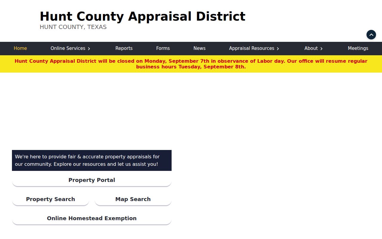
For a full block workflow, use the parcel identifier and boundaries as a lead, then verify each adjacent parcel separately.
Greenville Street Directory Map Context
The city’s map collection adds a second layer: city limits, ETJ, zoning, voting districts, trash and recycling, transportation, subdivision plats, fire districts, and streets. A map layer can explain why two addresses use different service, precinct, or municipal labels. It does not establish a household connection. Greenville’s city boundary can differ from its postal geography, and a county parcel may have a Greenville mailing address while sitting outside city limits.
For historic addresses, the verified Greenville Sanborn sequence is 1885, 1888, 1893, 1898, 1903, and 1909. Its sheets are valuable for checking a street label, footprint, landmark, or building use. There is no researched official street-renumbering or renamed-street crosswalk. Prove a changed address with a city ordinance, plat, permit file, USPS history, or successive dated directory entries.
Greenville Records Read by Street
Address-keyed systems have different strengths. A property card joins an address to a parcel. A GIS view shows mapped context. A recorded instrument follows an interest in land. City permit and code material may use a site address, but a complaint is not a proven violation. Voter information is controlled by Texas law and protected data remain withheld. Together, these sources build a documented street trail without claiming a complete household roster.
| Address source | What it may show | Access route | Limit |
|---|---|---|---|
| Hunt CAD / tax | Parcel, owner display, situs, mailing and legal fields | Online search, CAD verification | Not a deed or occupancy proof |
| CAD / GIS | Parcel boundary, road and map context | Interactive map and county map material | Not a survey |
| Deed index | Grantor, grantee, document lead | Kofile 1846–1916; newer Tyler | Index is not a title search |
| City permits and code | Site-address workflow or record request lead | EnerGov or city request | Complaint is not a finding |
| Directory / telephone volume | Dated address or subscriber snapshot | Library or archival collection | Runs are incomplete |
Greenville Deeds Along a Street
The Hunt County General Index covers 1846 through 1916 and can search by index-book type, year, party/name, or book, volume, and page. For a current Greenville street directory question, locate the parcel first, then move into the deed chain using the legal description and documented parties. The newer route is Tyler, which presents an index and image disclaimer before search access.
Search each parcel on its own terms. A grantor conveys an interest and a grantee receives one. The index must be followed to an instrument or copy request, and the Clerk warns that it is not a title examiner. The copy form asks the requestor to identify the document. Plain copies are $1 per page, with $5 added for certified copies.
The historic General Index capture shows the book, year, party, and name controls for the Greenville land trail.
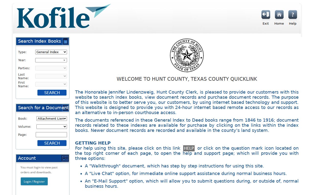
The resulting filing trail should be corroborated with a dated occupant source before describing a past household.
The Hunt County Tyler land screen is the newer-record entry route and warns users to distinguish the index from the underlying instrument.
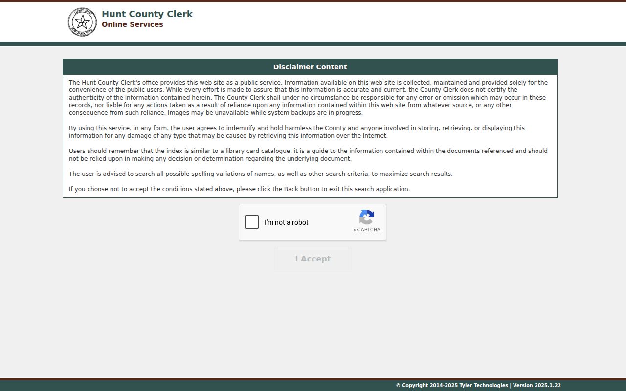
Accepting a portal disclaimer does not convert an index hit into title or occupancy proof. Keep the document reference and ask the Clerk for a copy when needed.
Greenville Permit and Code Addresses
Greenville permits and inspections uses site address or permit number, contractor business name, and inspection type in its current workflow. The public EnerGov inspection did not expose a verified full public result set or retention period. It is therefore safer to use the known address or permit number in a bounded city request than to promise a searchable city-wide record.
Code enforcement divides coverage east and west of Wesley Street and sends notices to the property owner’s mailing address and other involved parties. The city concern form records a report location, but an intake is not a final enforcement finding. Request the notice, inspection, correction, or closure record when that distinction matters.
Note: Greenville did not provide a verified street-renumbering or historical address-change table in the researched sources.
Greenville Voter Records by Street
Voter information has a narrower role in a street directory. Texas public voter data may include name, date of birth, VUID, and elections voted to the statutory extent, but it does not disclose how someone voted. Social Security, driver-license, DPS identification, and protected residence data are confidential. The official voter portal’s live controls were not fully available to the text inspection, so do not assume more fields than the current portal displays.
Hunt County’s request form also requires requester information, a specific description, delivery choice, and format. The right request is a lawful, defined record request, not an attempt to make a block roster. Precincts changed during the 2025 realignments, so retain the election date and applicable map version with a historical voter result.
Greenville Street Directory Access Routes
Every Greenville street search has more than one access channel. Hunt CAD and Hunt Tax provide the first online parcel lead. The GIS map provides geographic context. Kofile holds the historic 1846 through 1916 index, while newer land records use the Tyler route. If a document is not available in an online result, the County Clerk offers free in-office inspection Monday through Friday, 8 to 4:30 and accepts a copy request that names the instrument or enough identifying information. The request route is important because the Clerk does not perform property searches for the requester.
For municipal records, use the city permit or code department when the known address and record type fit its custody. A written City of Greenville request is the fallback for a specific existing municipal record. For a dated household trail, ask the History and Genealogy Center about a directory, telephone book, map, newspaper, photograph, or family manuscript. The result is a better Greenville street directory when each source is allowed to answer only the question it actually records.
Greenville ZIPs and Street Boundaries
Greenville’s city maps show 75401 and 75402, but a ZIP, city limit, ETJ, precinct, and parcel boundary should never be treated as the same line. The USPS address lookup accepts street address plus city and state, or street address plus ZIP, then returns a standardized delivery result. It is the right check for a current address format, not a substitute for title or municipal-boundary research.
When the ZIP has narrowed the search to an address, the parcel method remains the next step. The ZIP-specific distinctions and post-office context are handled in the Greenville ZIP directory.
Greenville Street Directory Limits
Even a careful Greenville street directory cannot identify every person connected to an address. Utility customer information is not a verified public people register. Driver and vehicle records are restricted by state and federal privacy rules. Protected voter fields, sealed court material, and confidential addresses may be absent or masked. A county mailing address also may not be the property situs, and a deed party may not have lived on the parcel.
When an online result fails, use the documented fallback: Hunt County Clerk inspection or a precise copy request, the city’s written request route, or an inquiry to the History and Genealogy Center for dated sources.