
Greenville Neighbors by Block Source
A block lookup should answer a limited question: what dated, parcel-linked source is available around one Greenville address? Hunt CAD and GIS identify property geography. City maps add municipal and service layers. Deed records identify separate transfers. Election records are governed by Texas rules, and historical directories only help for a particular dated volume. None of those sources turns a property-owner display into a complete account of the people in a home.
| Block record | What it can show around an address | Greenville access route |
|---|---|---|
| Hunt CAD and GIS | Parcel IDs, boundaries, owner display, situs or mailing context, legal description | Public property search and interactive map; not a survey |
| City map layers | City limits, ETJ, streets, voting, zoning, trash, fire, transport, and plats | Greenville city maps; geographic context only |
| Deed index | Separate grantor and grantee trails for target and touching parcels | Kofile for 1846–1916; newer Tyler route |
| Voter information | Public fields only to the extent Texas law permits | Texas portal or a lawful Hunt County request |
| Historical address sources | Address-section occupants or subscribers for a dated held volume | Library, UT, Delta State, or licensed databases |
| Community layer | Association, service, marker, cemetery, or civic context where a source exists | City programs, maps, library, and Historical Commission |
Start with the target parcel and its legal description. Move outward only to parcels that actually touch it or sit across the road, and record the map date, scale, roads, landmarks, and layer settings. This creates a block research log rather than an unsupported list of Greenville neighbors.
Greenville Parcel Labels Are Not Neighbors
A CAD card can contain both a situs address and an owner mailing address. Those fields serve different purposes. The research sample has a Lone Oak situs with a Greenville 75402 mailing address, which demonstrates why a Greenville postal line cannot be treated as city-limit proof or parcel location. The owner display also records an ownership interest, not who is present at an address on any given day.
- Situs address
- The property’s location as labeled in the appraisal record.
- Mailing address
- The address used for the owner’s tax correspondence. It may be in a different place from the parcel.
- Legal description
- The lot, block, survey, subdivision, or acreage wording that helps match a map parcel to a recorded instrument.
- Map neighborhood
- A geographic or appraisal context field, not a statement that every owner or household member belongs to a social group.
The Hunt Tax field model also includes property and geographic IDs, tax year, subdivision, abstract, owner ID, and neighborhood information. Preserve the field label with the value. A blank or unavailable field is a portal fact, not evidence that a property or person does not exist.
Note: Keep Greenville situs and mailing fields separate until a source specifically connects them to the same parcel.
Map a Greenville Block Parcel by Parcel
The public Hunt map sample shows parcel boundaries and identifiers with roads, landmarks, and FEMA-style flood layers. The live Hunt CAD interactive map is the starting point for parcel geometry, but text inspection did not verify its exact click-select, buffer, measure, or export controls. Use only the controls visible during a live visit, and do not describe an unverified feature as available.
The official Hunt CAD parcel-map capture used for Greenville neighbor research shows a selected parcel and surrounding map context.
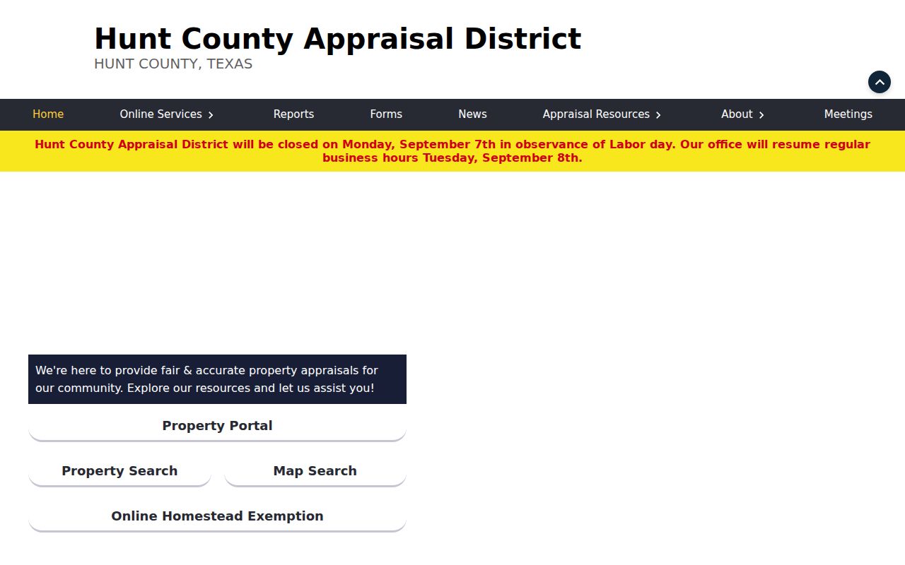
Read the map as an informational parcel view, not a legal survey. Then open the property record separately so the parcel number, legal description, situs label, mailing context, and recorded interest do not get conflated.
- Locate the target address or parcel and record its parcel or geographic ID, legal description, map date, and scale.
- Identify touching parcels and parcels separated only by the street, noting roads, barriers, and visible parcel boundaries.
- Open each parcel record separately and preserve the owner-display field, mailing and situs labels, and the relevant tax year.
- Use the deed index for each parcel as its own record trail. Do not assume adjacent parcels share a transfer history.
- For a full named-street sequence, use the Greenville by-street directory rather than extending a block sketch beyond its evidence.
Greenville Neighbors and Election Geography
Election geography is useful for dating a public record, not for building a household roster. Hunt County registration materials describe a voter certificate with a persistent VUID, residence address, precinct, and district fields, while Texas guidance limits what remains public and withholds protected identifying fields. A mailing address does not establish a precinct. Ballot choices are not part of the public voter information described in the research.
The Texas My Voter Portal is the official current lookup route, although the research review received a 403 response and could not confirm live control labels. For a formal local request, the Hunt form provides email, paper, or CD delivery and Excel or PDF format choices. It carries statutory limits, including Election Code §18.009’s restriction on using voter-registration information to advertise or promote products or services.
Hunt Elections reported precinct realignments in August and December 2025. Therefore, a historical precinct must be paired with the election date and map version. A current precinct should not be silently joined to an older Greenville address record.
Greenville Community Layers for Neighbors
Community sources can add local context without claiming membership or residence. Greenville’s city maps include city-limits and ETJ, streets, voting, zoning, trash, transportation, subdivision-plat, and fire-district layers. The Northeast Texas History and Genealogy Center and Hunt County Historical Commission can point to maps, markers, cemeteries, photographs, newspapers, and family manuscripts. Those resources document places and local history, not public rosters of every Greenville neighbor.
The City of Greenville’s neighborhood-awareness and association intake route is a current public contact point.
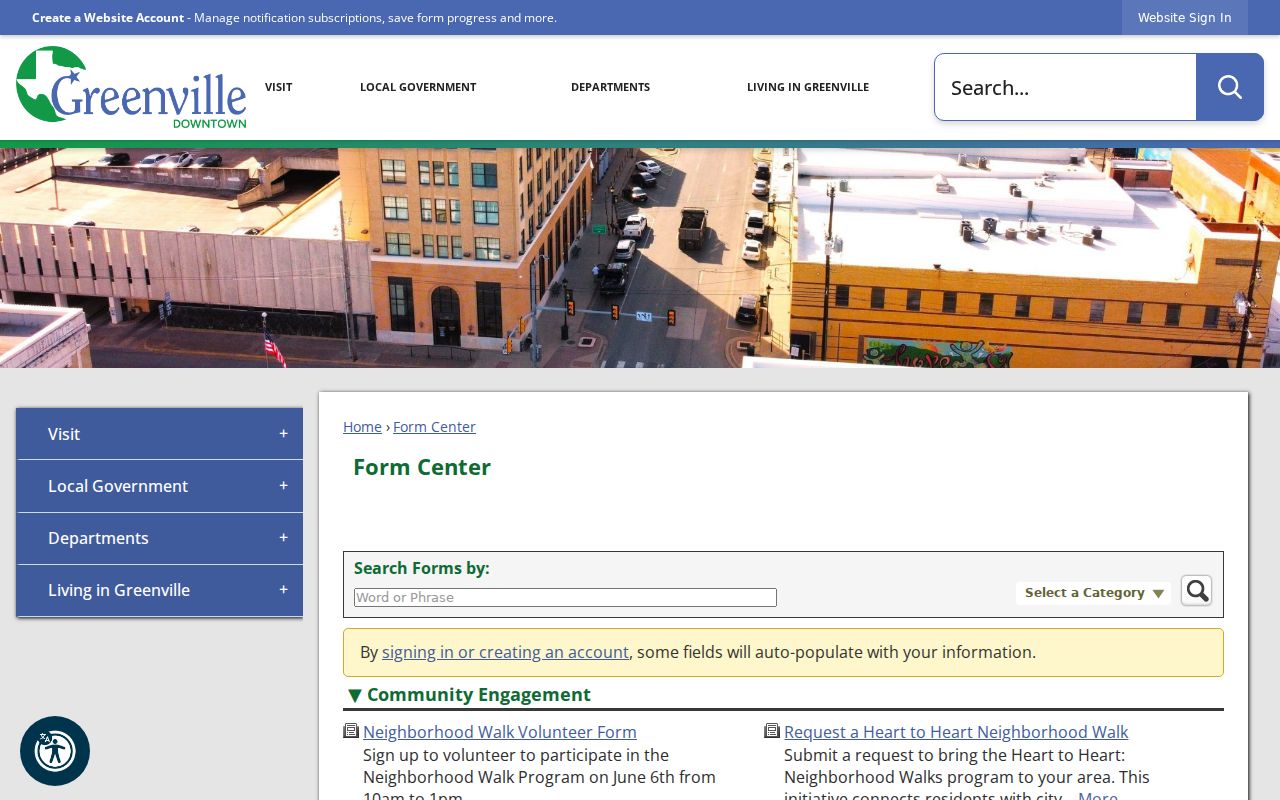
The capture shows the city’s community-engagement form context. Research did not verify a public official directory of named Greenville neighborhood associations, so an intake route should not be represented as a public membership directory.
| City neighborhood route | Public neighborhood-awareness or association intake, with no verified named public roster. |
|---|---|
| City map sources | Service and boundary layers that provide block context, not household membership. |
| History and Genealogy Center | Historic maps, photographs, news material, and local-history research support. |
| Historical Commission | Markers, cemetery history, photographs, timeline, and family-land context. |
Greenville Neighbors: Source Context Matters
Official parcel records and commercial neighbor listings are not interchangeable. An official record identifies its custodian, field labels, date, and access boundary. A commercial listing category may combine stale directory, marketing, property, court, voter, or user-submitted material, sometimes mixing people with the same name. It may not preserve the source date or distinguish a mailing address from a situs address.
| Question | Official Greenville source | Commercial listing category |
|---|---|---|
| Which parcel touches this lot? | CAD or GIS boundaries with map date and disclaimer | May omit map source, date, or parcel identity |
| Who held a recorded interest? | Clerk index and underlying instrument | May flatten transfers into a stale name association |
| What was public at a past address? | Dated directory, newspaper, or census source | May not preserve edition, page, or date |
Use the official source first, then retain the exact field and access date. If a commercial record appears wrong, its verified privacy route may allow a correction or removal request, but that does not change a legitimate county record or archival item.
Greenville Neighbors Across Boundary Layers
City limits, ETJ, ZIP area, voting precinct, tax neighborhood, and parcel boundary are different systems. They change on different schedules. The City of Greenville says its map displays 75401 and 75402 ZIP areas, while USPS requires address-level verification for a delivery ZIP. A Greenville mailing label therefore does not resolve a parcel’s municipal, postal, or election geography.
Use the correct layer for the question. CAD and GIS support parcel context. City maps support municipal or service context. USPS normalizes a mailing address. Hunt Elections supplies precinct context, subject to date. Combining them without labels creates a false impression of where Greenville neighbors live or which community applies to the parcel.
Note: A postal ZIP, city limit, and tax neighborhood may overlap, but none should be substituted for another.
Greenville Neighbors in Earlier Address Records
For a historical block, find the address section in a dated directory or telephone book and preserve what the volume actually says. Greenville has verified leads for 1911, 1913, and 1916 city directories; Greenville Telephone Co. metadata for 1932, 1947, and 1949; and selected Delta State volumes from 1960 through 2001. Those years have gaps. No Greenville-specific complete reverse or criss-cross directory run was verified.
Sanborn sheets from 1885 through 1909 can add building and street context, while the library’s newspapers can help date a transition. Neither a map nor a directory is proof of a current household. A dated entry is best treated as one layer beside the parcel trail, recorded instrument, and census evidence.
Greenville Block Privacy Limits
Some information about a block is confidential, restricted, or simply not held as a public roster. Protected voter addresses can be absent, generalized, suppressed, or replaced through Texas confidentiality programs. Utility and delivery data are not public block sources. Texas motor-vehicle privacy rules also limit personal vehicle information. An absence from an online map or voter display does not prove that a person was never in Greenville.
Texas public-information law does not make every record public. The Texas Public Information Act can require a custodian to review a specific existing record, but confidentiality rules, sealed material, and source-specific limits still apply. The right route is a narrow request to the office that holds the record, not a request for a general list of people around an address.
Greenville Neighbor Methods, Not Rosters
A careful Greenville neighbor search ends with a source log. Record the address entered, parcel ID, map date and scale, road or barrier, legal description, field label, owner-display date, instrument reference, and any privacy limitation. If the evidence supports only a parcel connection, say so. If it supports a dated historic address entry, preserve the volume and page. Do not turn either into a claim about present household membership.
When an online route fails, use the documented alternatives. The County Clerk offers free in-office inspection Monday through Friday, 8 to 4:30 and identifies property images through the county land systems. The City’s public-information route accepts a written request for an existing city record and does not require it to create a new dataset. Each channel can help verify a particular document, map, or permit context without publishing a block roster.